1780 Antique Hand Drawn Paper Map English Channel France Paris Vintage Europe
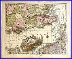
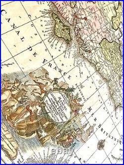
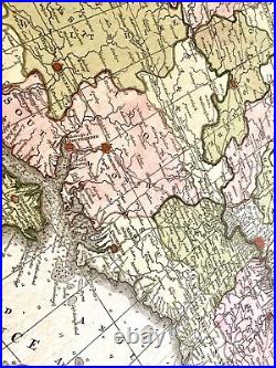
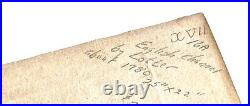
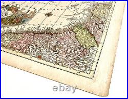
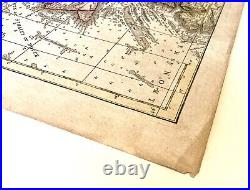
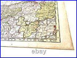
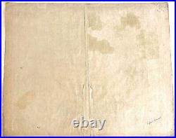
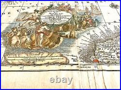

English Channel South England Manche France 1740 Lotter large decorative map. Les Plus Grande Partie de la Manche, qui contient Les Cotes d'Angleterre et celles de France.. (Europe, England, France, British Channel, Normandy, Picardy, Kent, Sussex, Isle of Wight, Middlesex, London, Oxford).
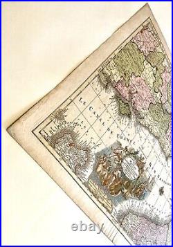
Issued 1780, Paris by Lotter. Fine engraved map, with lovely full original hand color. Nice looking example, pleasing age patina, bottom blank margin trimmed to slightly inside neat line at bottom.
Any minor age flaws easy to overlook or forgive. Sheet Measures 25" x 22". This item is in the category "Antiques\Maps, Atlases & Globes\Europe Maps". The seller is "jocata_38" and is located in this country: US. This item can be shipped worldwide.
- Legend: Highly Decorative Cartouche
- Printing Technique: Manuscript/Hand drawn
- Calligraphy: Large Decorative Vignette Title
- Color: Full Original Hand Color
- Cartographer/Publisher: Tobias Conrad Lotter
- City: Normandy
- County: Kingdom of Belgium, Koninkrijk België, Royaume de Belgique, Königreich Belgien, Netherlands Germany Luxembourg France, Saxon, Oxford, Europe, Les Plus Grande Partie de la Manche, Les Cotes d'Angleterre et celles de France, South England, Augsburg, London, Middlesex, Sussex
- Design: allegorical figures, sea horses, ships and Gods
- Date Range: 1700-1799
- Type: Geological Map
- Format: Sheet Map
- Year: 1780
- State: la Manche
- Original/Reproduction: Antique Original
- Refinements: Pleasing Age Patina
- Style: Full original colour, Fine engraved map
- Map Size: 25 in x 22 in
- Country/Region: English Channel, Le Canal de France, Mer Britannique, Normandie, Isle de Wicht, Isle of Wight, Picardy, Kent, England, France
